HuntControl – How It Works
What is HuntControl?

Create an Account and Add Cameras
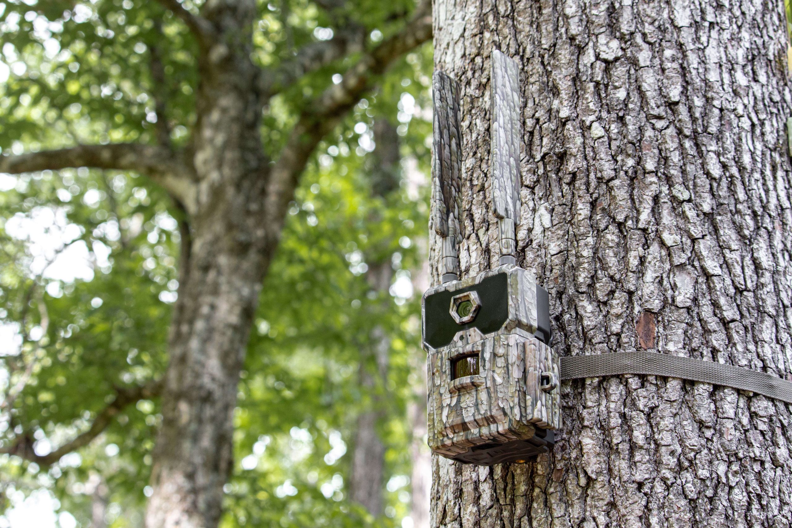
Add a DataCam or any brand of trail camera to HuntControl (manual image upload for other brands). Use the DataCam's built-in GPS coordinates or search on an interactive satellite map to get the exact location of the trail camera.
The camera name is your choice, choose something to help you remember important details about that location.
Receive Photos
Set your DataCam or trail camera out and let it take photos. The more images of the target animal it gets the more data HuntControl can collect.
HuntControl will use our in house recognition software to sort all of your pictures, gather relevant weather data, and create charts and graphs all automatically.
View & Tag Photos
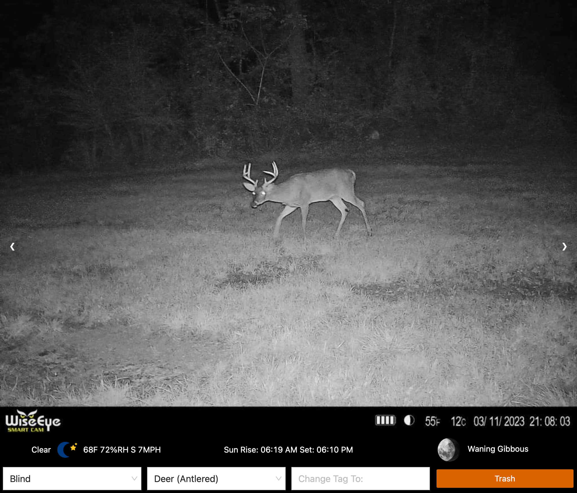
Easily view your images in a simple and clean layout.
View the weather data for each image including temperature, conditions, relative humidity, barometric pressure, moon phase and more.
Filter your images down by species, cameras, tags, and MORE!Pattern
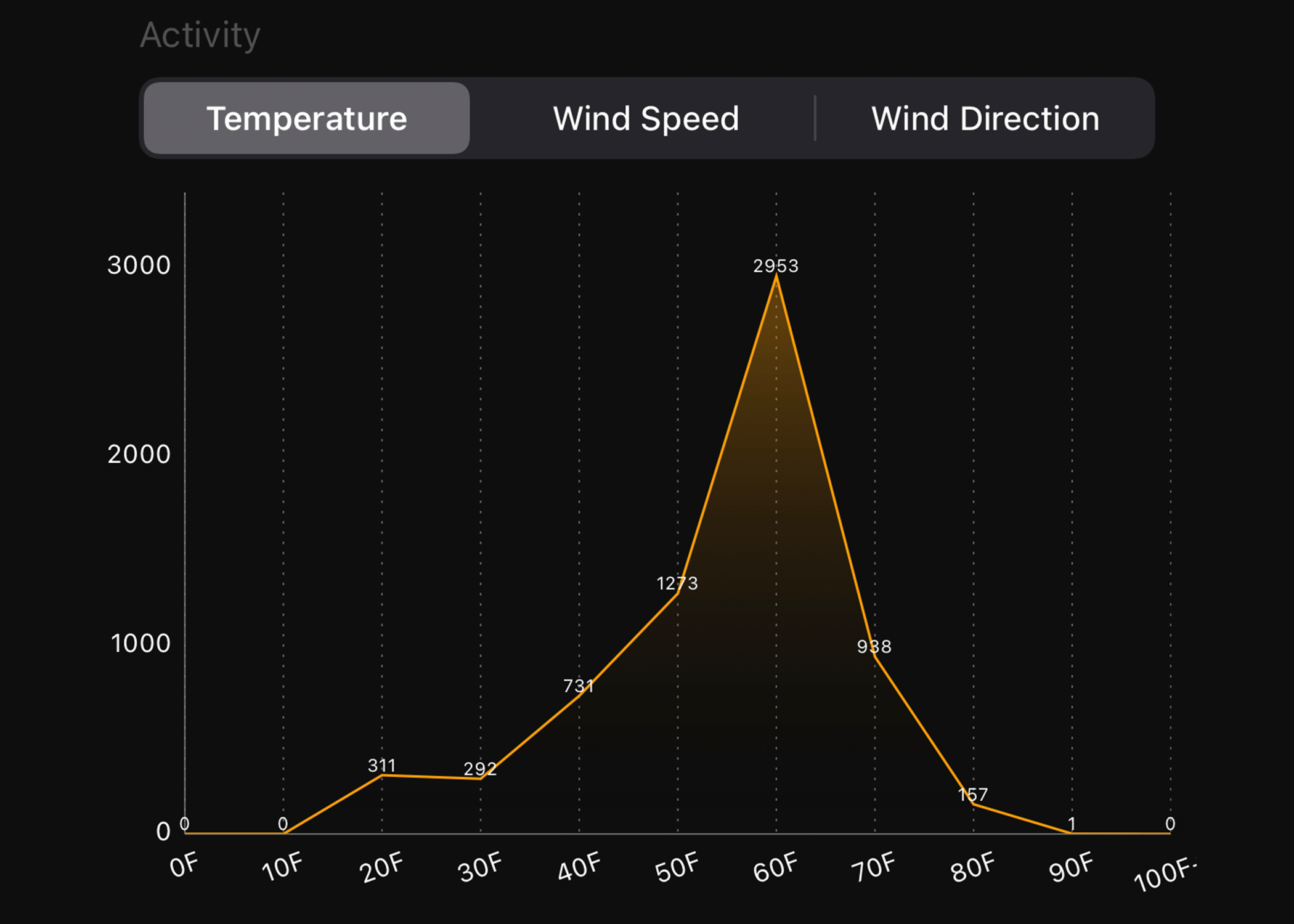
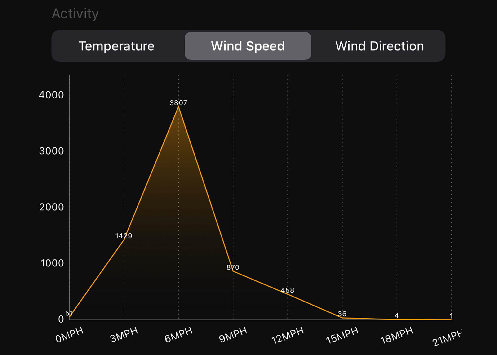
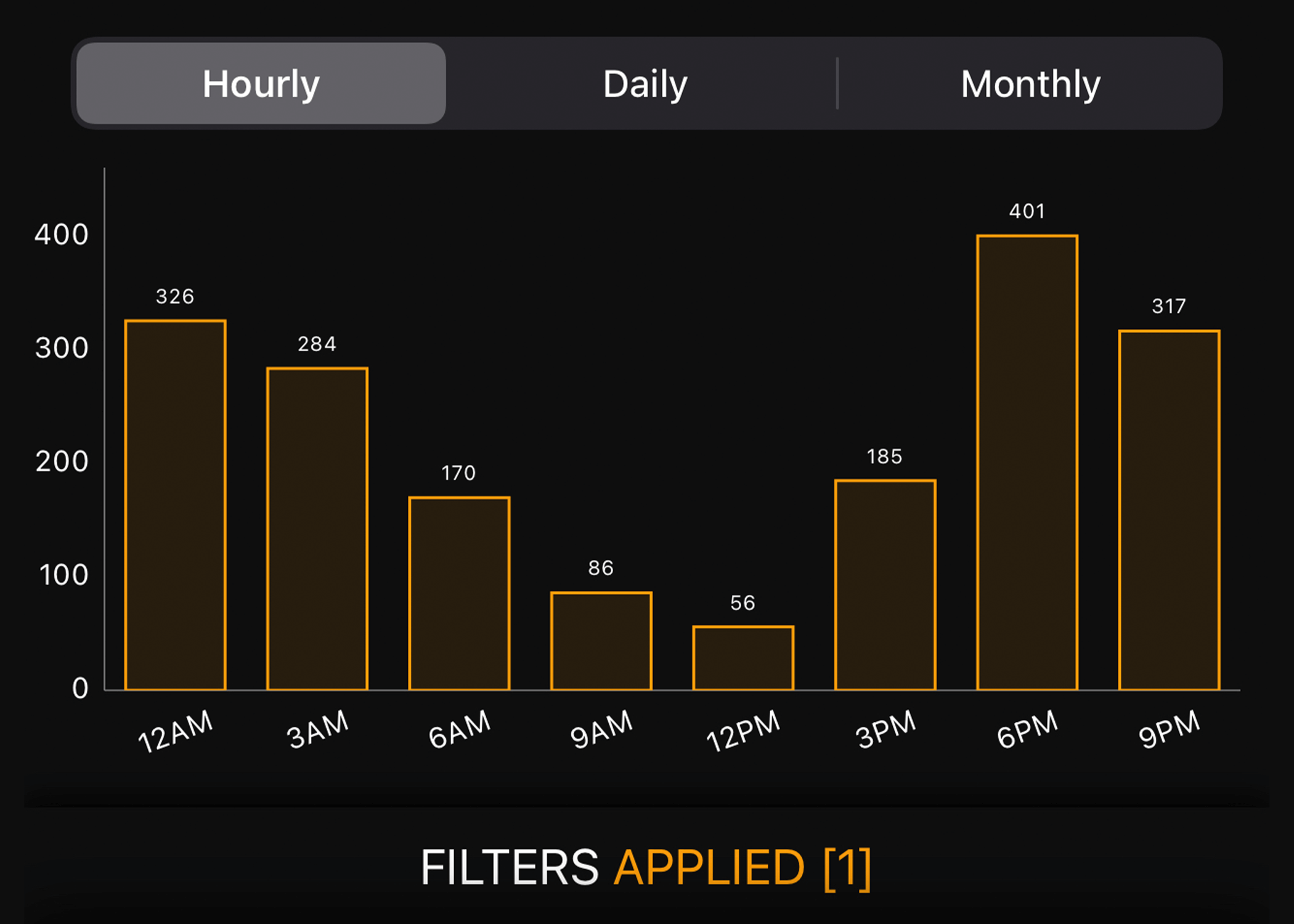
HuntControl™ automatically create activity charts from your images. Pattern deer, hogs, and turkeys by time of day, weather, moon phase and more! No more reading articles on when to hunt, know when and where to go instantly with HuntControl™ activity charts.

Predict
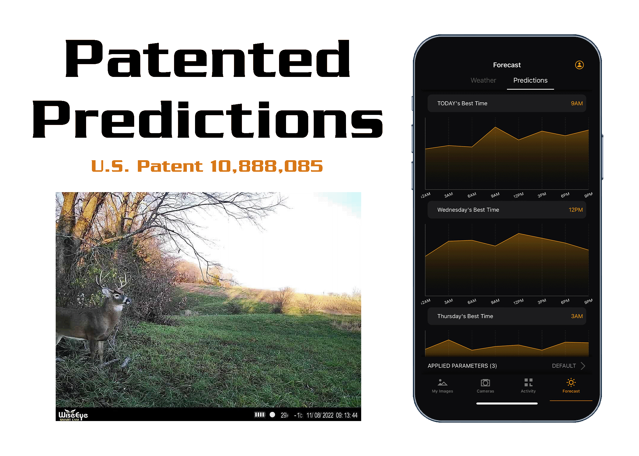
HuntControl™ looks at future weather to determine the best days to hunt based on your past animal movements. Let HuntControl™ tell you the best days for activity or you can predict animal movements based on factors you choose. Use the charts to see the peak animal movement at that location.

See For Yourself!
This just scratches the surface of what HuntControl can do! Learn more by watching the video tutorials or simply purchase a subscription and see how HuntControl’s patented technology can increase your success level!
Video TutorialsPurchase a Subscription
